the field trips
Marietta sits at the confluence of 2 rivers, the Muskingum and the Ohio. Several other rivers are in the vicinity. Given the unglaciated topography of the Appalachian Plateau, there are no large lentic bodies of water within the county, although there are several small reservoirs and numerous “farm ponds” and a number of water bodies left behind by strip mining.
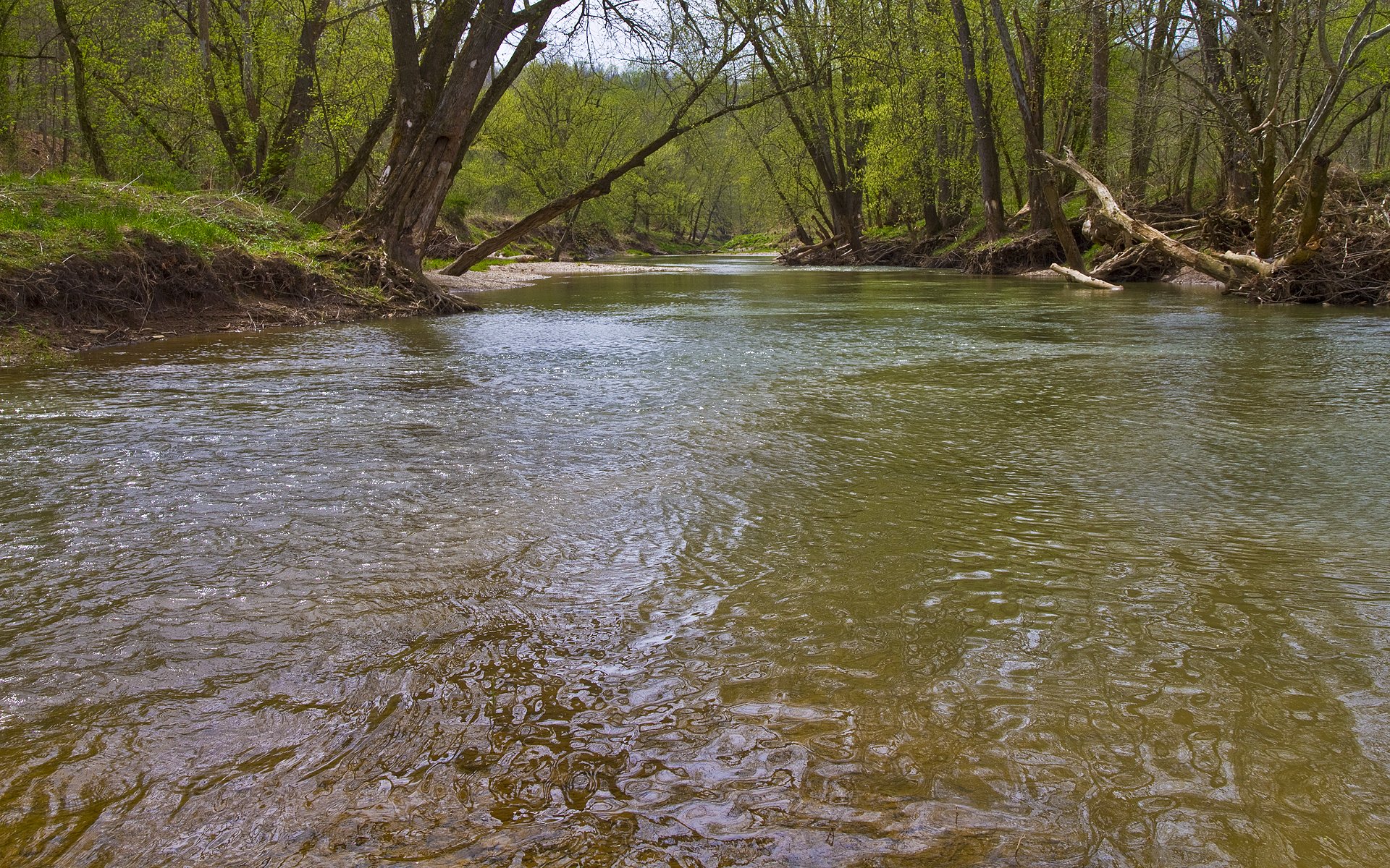
The main field trip for the meeting is a roughly (as the Pantala flies) 60 mile loop up the valley of the Little Muskingum River (below). The river has the distinction of being the largest river in Ohio not to pass through a major town (though residents of Dart might disagree). Good water quality, but a bit too much silt. There are 5 very wadeable sites on this loop, 3 of these are at USFS campsites, one is a local park, and one is a township road ford. There are also 2 good lentic sites (also USFS) and our college field station with 1200’ of river frontage (but poor access) and several miles of mowed trails (upon which a diversity of odes have been found). There are also two lentic sites at city parks at the very beginning. One option on this loop is to return via the Ohio River where there are several access points. There is also an isolated wildlife pond (USFS) and a number of smaller streams on USFS property. Many of the sites can hold up to 15 people at a time (some more, some less). By staggering start times and directions it is possible for 50-60 people to be doing this loop simultaneously.
Little Muskingum River @ Hune Bridge
Muskingum River
Little Muskingum River @ Knowlton.
Muskingum River
Within Marietta itself is a river trail which runs along Duck Creek, the Ohio River and the Muskingum River (the latter on both sides). There is considerable river access along the trail but the water isn’t wadeable at most of them. We also have access to the College Boat dock on the west side of the Muskingum.
Muskingum River @ Luke Chute
Devols Dam
Just outside of town is the extensive Broughton Nature Preserve with hiking trails along a small woodland steam and 3 ponds, one of which is an isolated woodland pond. Upstream of Marietta on the Muskingum River is Devols Dam; access on the east side is at a state park, on the west side the Lower Muskingum Conservancy has river access to an extensive gravel bank. Further upstream at Luke Chute the Conservancy also has property and a nearby landowner will likely give access to his waterfront, which is also wadeable. USFWS will also help with access to an island in the Ohio River.
Additional trips would work north along Duck Creek which has one excellent wadeable site and access at another ford, as well as 2 lakes in Noble County and a wildlife area created from old strip mine there. Another northern trip would be to Noble/Muskingum/Morgan counties where extensive strip mines left behind many ponds, some of which have good diversity. The Wilds, a conservation park that is part of the Columbus Zoo, has over 140 such ponds alone. I have been doing work there for 30 years and have had access to the “back country”; I’m hoping to get that permission (and the assistance of the staff) to allow a field trip to that property. Jessee Owens State Park is located on another portion of those same strip-mined lands and has numerous accessible ponds as well.
To the west of the county there are a number of small sites that can be combined into a good trip as well; so we could have a trip to the east, 2 to the north, and one to the west occurring simultaneously.
Pre and post trips
We will be doing these trips in a different way than some other meetings. Given the lack of a single dominant airport and the fact that attendees will be coming from all directions, we will be hosting the pre and post trips at locations all over the state. Local volunteers – some from the Ohio Odonata Society, others dedicated naturalists or park personnel with good local knowledge – will have meeting places and times set up for those interested (and we’ll have info available for those who want to strike out on their own). Here are a few of the featured sites we hope to highlight:
Northeast Ohio
This area is great with numerous preserved areas hosting some of the best diversity in the state. The scenic Grand River, Paine Creek, Morgan Swamp, North Kingsville Sand Barrens, Holden Arboretum, upper Cuyahoga River all come to mind. This is the part of the state with the most kettlehole lakes and bogs, although many are protected. Still, there is public access at Triangle Lake Bog, Lake Kelso and Snow lake are among these. The Cuyahoga Valley National Park gives access to the lower portions of the Cuyahoga (much better now, thank you). Across the divide the headwaters of the Tuscarawas River arise near Akron and a series of parks and the Ohio and Erie Canal towpath trails give access to the Tusc from Summit to Tuscarawas County. East of the Tusc in Jackson Township is Jackson Bog Nature Preserve (actually a fen) with a long boardwalk and some interesting species. Further south are the lakes of the Muskingum Watershed Conservancy; the outlets of these dams produce some interesting odes, as do Ohio River tributaries like Yellow Creek.
Glacial Kettlehole lakes Snow.
Kelso.
Paine Creek.
Northwest Ohio
Another great spot for odes. The Toledo Metroparks has a number of good sites including several access points to the Maumee River. Among the parks/natural areas worth a visit are the Oak Openings Metropark, Wiregrass Lake, and Lake La Su An Wildlife area. Much of this part of the state was part of the Great Black Swamp and has been drained and converted to agriculture, but there are still some interesting finds; River Bluet (Enallagma anna) turned up unexpectedly in a drainage ditch in Hancock County several years ago, and Rainbow Bluets have been found in similar circumstances. There are numerous wildlife areas like Killdeer Plains as well. The various Lake Erie Marshes so well-known to birders also have odes and stretch from Toledo to Sandusky. Inland the Sandusky, Portage, Huron and Vermillion Rivers all have some nice spots. There are also a number of abandoned quarries turned into parks that turn up some good stuff.
Southwest Ohio
Both Cincinnati and Dayton have many parks and access points along the Greater and Little Miami Rivers, Mad River, and a number of smaller streams. Seibenthaler Fen has an extensive boardwalk. To the east a number of state parks are built around reservoirs; Flag-tailed Spinylegs are often seen on the lake margins. Highlands Nature Sanctuary, as well as the rest of the outstanding Arc of Appalachia preserve has some fantastic sites. Nestled in the curve formed by the Ohio and Scioto Rivers is a huge swath of protected land – state forests, state parks, the Edge of Appalachia Preserve along the very productive Ohio Brush Creek, and a number of other sites. Botanists will want to visit Lynx Prairie where there is also a population of Gray Petaltails.
Southeastern Ohio
East of the Scioto begins the Wayne National Forest and interspersed state protected areas with some extensive forest areas and clean streams. Just a few years ago a nondescript pond under a powerline yielded a state record Double-ringed Pennant; the population persisted as of summer 2023. The tiny Wilson Wetland “Wilderness Area” next to the Ohio Rive is a great spot to see Comet Darners. North from there is the very scenic Hocking Hills and a many other protected areas. The middle part of this region was already described but northeast of the meeting Captina Creek flows to the Ohio River.
Central Ohio
You don’t want to miss Cedar Bog in Urbana – it’s actually a fen but it has good populations of both Elfin Skimmers and Seepage Dancers, both easily observed and photographed from an extensive boardwalk. An unusual population of Paiute Dancers was first seen here. Just north of here Swift Setwings were first found, and at Lake Loramie to the west, Jade Clubtails. All three species were state
records from the 2010’s and all were found by Jim Lemon who has over 10K odes on iNaturalist. Just west of Columbus lie Little and Big Darby Creeks; the latter a scenic river and outstanding habitat. They join at Batelle Darby Creek Metropark which has good access points. The Scioto River flows through Columbus where it meets the Olentangy, and, later, Alum Creek; there are extensive parks along each of these, as well as several reservoirs. Southwest of Columbus lie Alley park near Lancaster and the Wahkeena Nature Preserve; both have Lilypad Forktails. Just south of Wahkeena is the Clear Creek Metro Park, which lives up to its name and also hosts a population of Tiger Spiketails. Northeast of Columbus are the Kokosing, Walhonding and Mohican Rivers; the latter two have some excellent access points. A bit further northeast is Brown’s Lake Bog (actually a bog) Nature Preserve with a small boardwalk and Sphagnum Sprites and Aurora Damsels; then you are into Amish country and Killbuck Creek running south from peatlands through a number of wetland wildlife areas.


